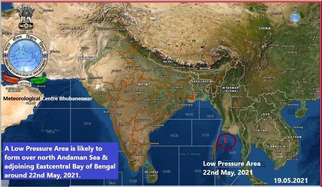
Bhubaneswar : The IMD today predicted a cyclonic storm in the next 72 hours which is likely to move north westwards and reach West Bengal -Odisha Coast around May 26 next.
Met sources said a Low Pressure Area is very likely to be formed over north Andaman sea and adjoining east central Bay of Bengal around May 22 next.
The low pressure is likely to intensify gradually into a cyclonic storm during the subsequent 72 hours and likely to move north westwards and reach West Bengal -Odisha Coast around May 26 next.
Under its impact light to moderate rainfall is likely to occur at most places with heavy rainfall at isolated places from the evening of May 25 over coastal districts of Odisha Squally wind speed reaching 45 to 55kmph gusting to 65 KMPH is likely to prevail over Andaman Sea and adjoining East central Bay of Bengal on May 23.
The wind is likely to increase to 50-60 KMPH gusting to 70 KMPH from May 23 and further becoming gale during May 24 to 26 over major parts of central Bay of Bengal.
The wind is likely to prevail in north Bay of Bengal and all along and off Odisha,West Bengal- Bangladesh Coasts during May 25 to 27.
Sea conditions will be rough to very rough over Andaman sea and adjoining east central Bay of Bengal on May 23 and high to very very high over major parts of central Bay of Bengal during May 24 to 26 and into the north Bay of Bengal and along and off Odisha -West Bengal coast during May 25 to 27.
The fishermen are advised not to venture into the sea of central Bay of Bengal from May 23 to 25 and into north Bay of Bengal along and off Odisha coast from May 25 to 27 next.
Fishermen who are in the deep sea have been advised to return to the coast by May 23 .


More Stories
CM Files Nomination for Hinjili Assembly Seat
Liquors Policy Scam: ED has no material necessitating my arrest, Kejriwal tells SC
Youth need encouragement & guidance to take India a great heights: Odisha Governor